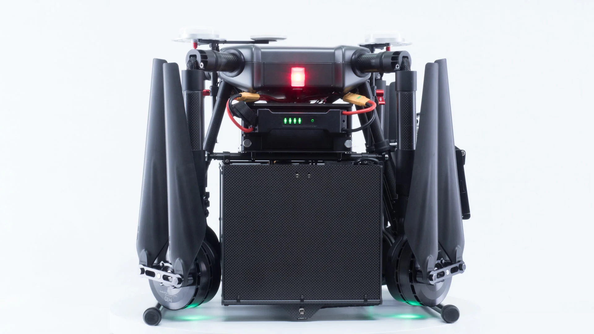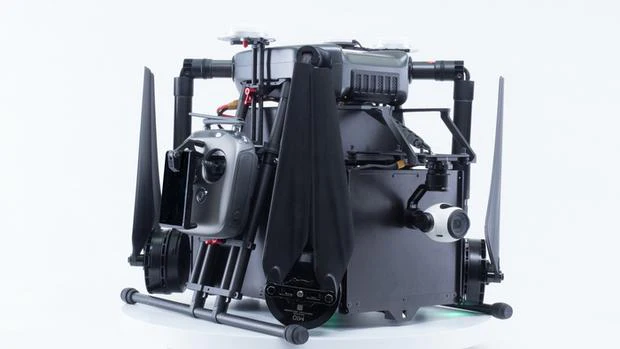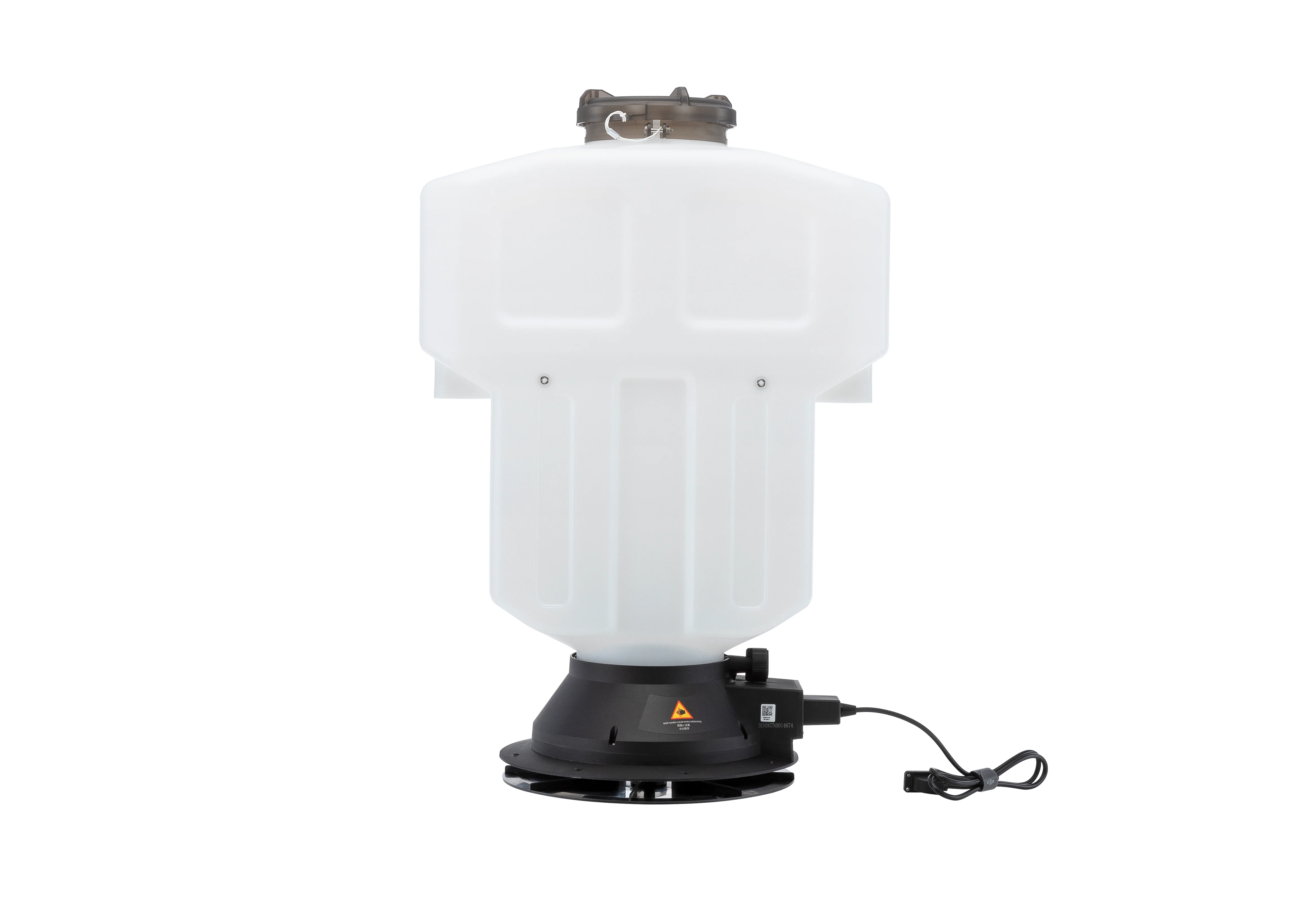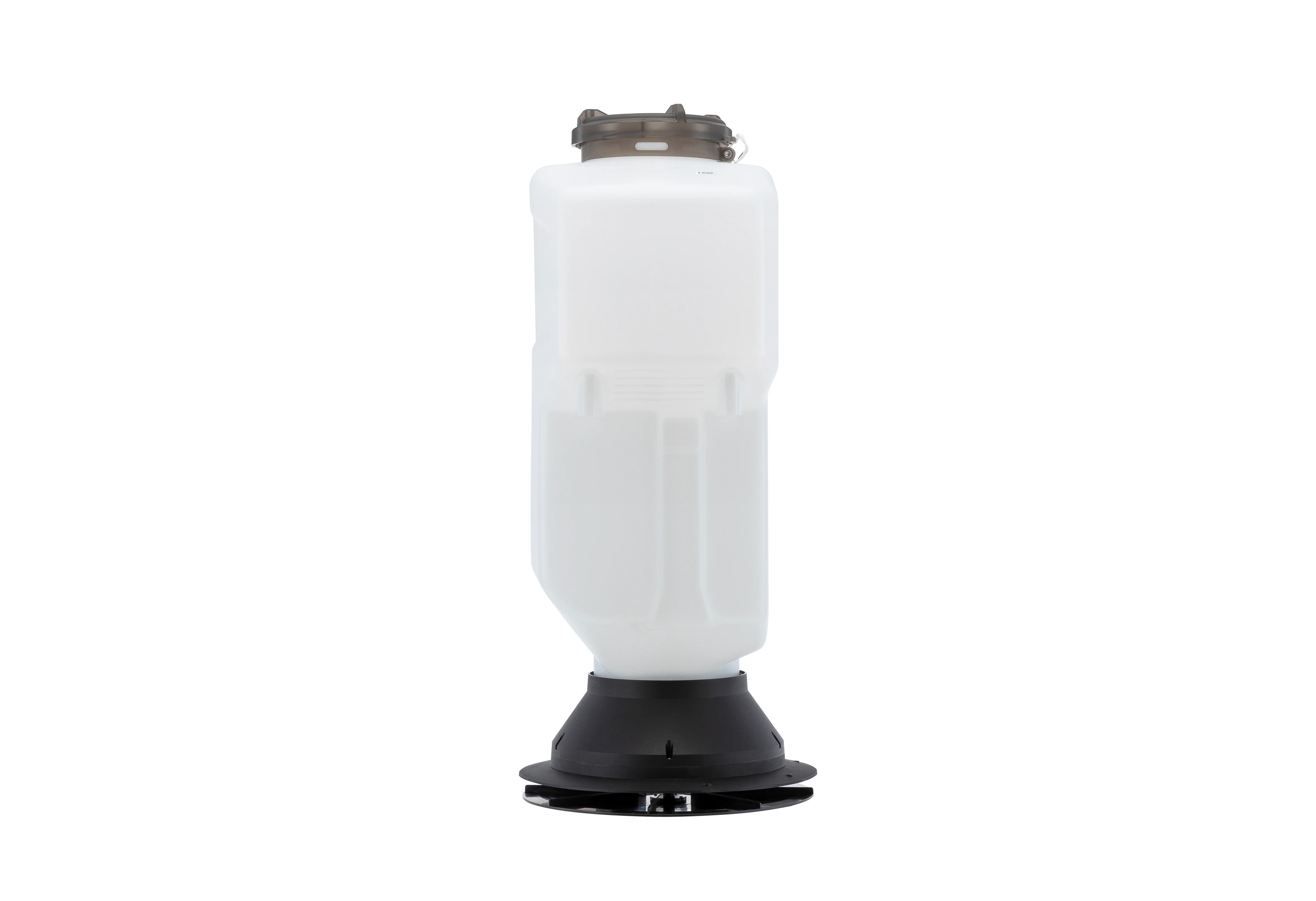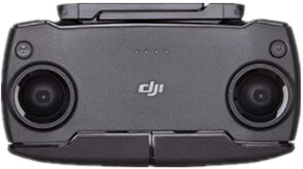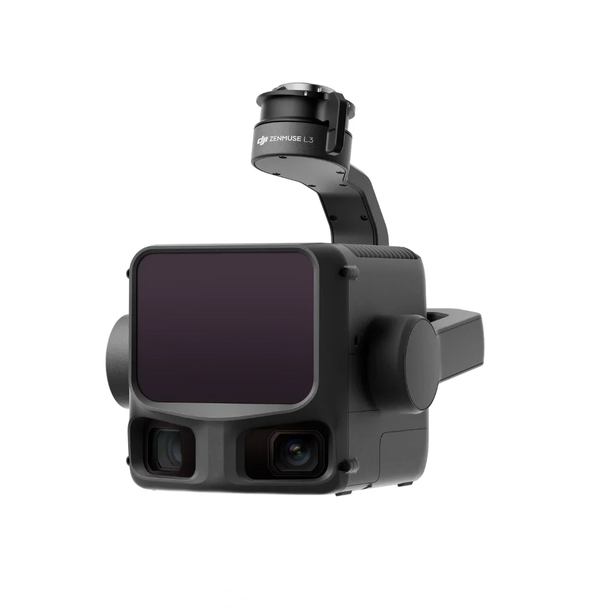
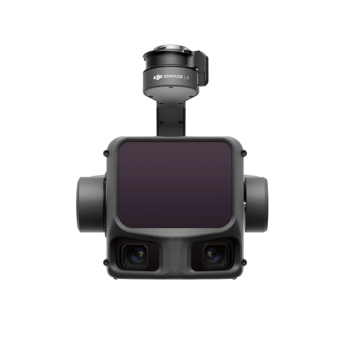
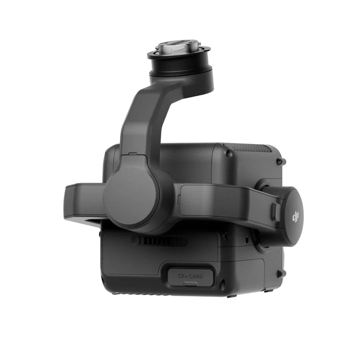
DJI Zenmuse L3
Equipped with a 1535 nm Class 1 laser and dual 100 MP Micro 4/3 cameras, it delivers up to 950 m range and 2–4 cm accuracy for professional surveying and digital-twin applications.
Built exclusively for the Matrice 400 RTK, the L3 integrates seamlessly into DJI Terra workflows to output point clouds, orthophotos, and 3D models—all within a single processing environment.
Exceptional Range, Accuracy, and Efficiency
The Zenmuse L3 combines long-distance LiDAR reach with exceptional spatial precision. Its reduced 41 mm beam diameter and 0.25 mrad divergence produce higher-resolution point clouds and finer target separation.
Adjustable scanning rates from 100 kHz to 2 MHz, plus up to 16 returns, provide flexibility for both dense urban modeling and deep vegetation mapping.
With a no-preheat IMU, 0.01° pitch/roll and 0.02° heading accuracy, and auto-calibration during flight, the L3 ensures every mission begins instantly and captures consistent, high-integrity data.
Integrated Dual Cameras and All-Weather Reliability
Dual 100 MP Micro 4/3 sensors with 107° FOV capture ultra-sharp color imagery for photogrammetry and point-cloud colorization. The system delivers 1.2 cm GSD at 120 m AGL or 3 cm GSD at 300 m, ensuring photorealistic results for engineering-grade mapping.
The IP54-rated housing withstands rain, dust, and temperature extremes from -25 °C to +55 °C. Powered by DJI’s unified ecosystem, the L3’s workflow with DJI Terra and Modify offers real-time point-cloud preview, on-site measurement, and automated accuracy checks—all backed by 1-Year DJI Care Enterprise Plus coverage.
Original: $17,400.00
-70%$17,400.00
$5,220.00Product Information
Product Information
Shipping & Returns
Shipping & Returns
Description
Equipped with a 1535 nm Class 1 laser and dual 100 MP Micro 4/3 cameras, it delivers up to 950 m range and 2–4 cm accuracy for professional surveying and digital-twin applications.
Built exclusively for the Matrice 400 RTK, the L3 integrates seamlessly into DJI Terra workflows to output point clouds, orthophotos, and 3D models—all within a single processing environment.
Exceptional Range, Accuracy, and Efficiency
The Zenmuse L3 combines long-distance LiDAR reach with exceptional spatial precision. Its reduced 41 mm beam diameter and 0.25 mrad divergence produce higher-resolution point clouds and finer target separation.
Adjustable scanning rates from 100 kHz to 2 MHz, plus up to 16 returns, provide flexibility for both dense urban modeling and deep vegetation mapping.
With a no-preheat IMU, 0.01° pitch/roll and 0.02° heading accuracy, and auto-calibration during flight, the L3 ensures every mission begins instantly and captures consistent, high-integrity data.
Integrated Dual Cameras and All-Weather Reliability
Dual 100 MP Micro 4/3 sensors with 107° FOV capture ultra-sharp color imagery for photogrammetry and point-cloud colorization. The system delivers 1.2 cm GSD at 120 m AGL or 3 cm GSD at 300 m, ensuring photorealistic results for engineering-grade mapping.
The IP54-rated housing withstands rain, dust, and temperature extremes from -25 °C to +55 °C. Powered by DJI’s unified ecosystem, the L3’s workflow with DJI Terra and Modify offers real-time point-cloud preview, on-site measurement, and automated accuracy checks—all backed by 1-Year DJI Care Enterprise Plus coverage.